Data and image credits
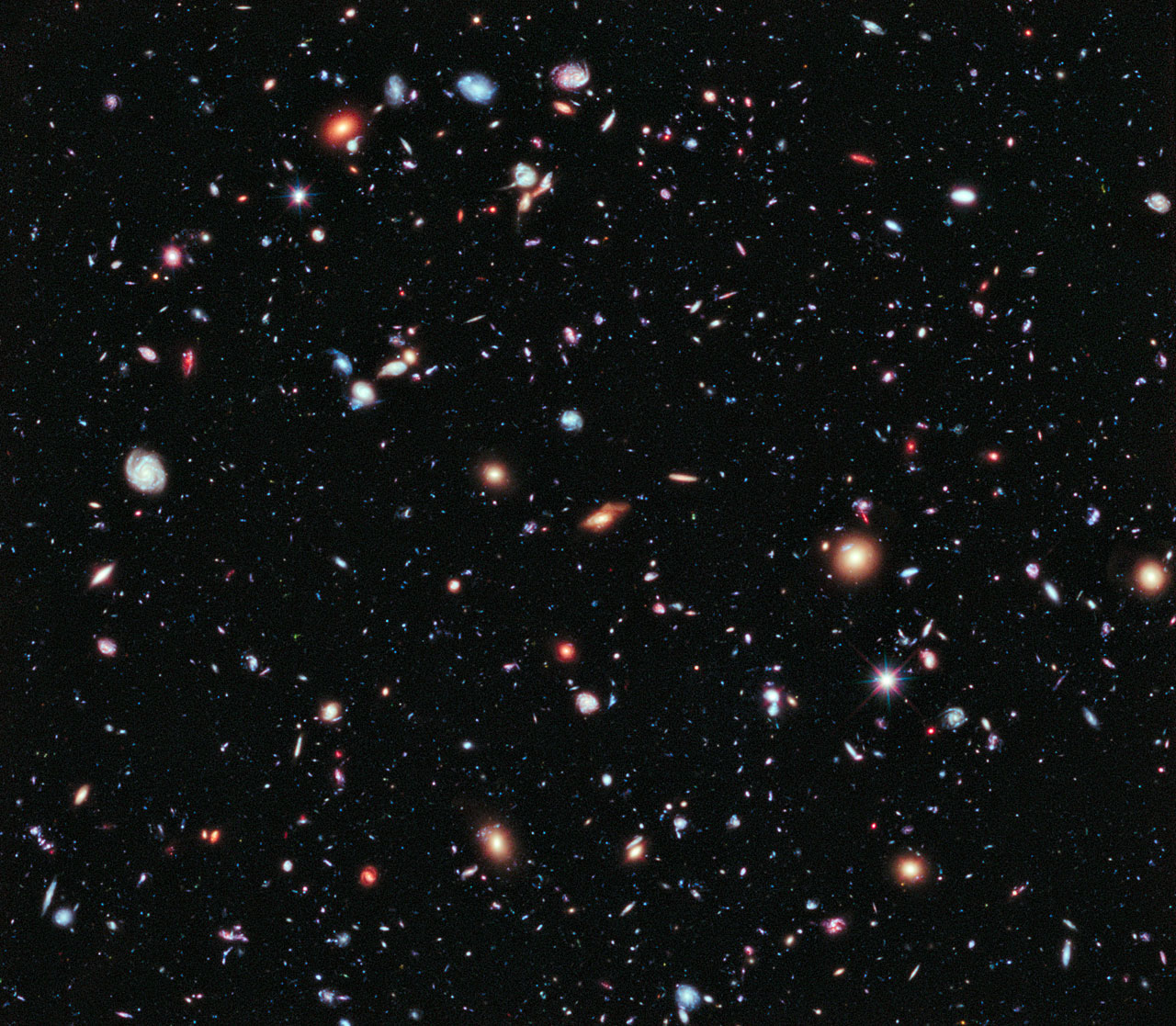
Orbital Atlas brings together public catalogs and research imagery. The atlas includes simulated motion and compressed distance scales for some views. Use Model notes in the atlas to see the assumptions and the source links for each model.
Visitor privacy
You can browse the atlas without creating an account. The local sky calculations run in your browser. Selecting Use my location asks your device for permission. Orbital Atlas keeps the resulting coordinates in the open page and does not send them to its servers. You can also type coordinates or choose a city.
Live image and catalog searches send your query to the archive or data provider that answers it. Items you upload to the orbit tool are read in your browser. Linked third-party sites use their own privacy practices. The hosting provider may process routine connection and security data as part of serving this website.